Log in
All resources
Create a design
Tools
308,624 Free Images of Pages With Maps
cc-zero
architecture
jing'an temple
town
bingham canyon mine
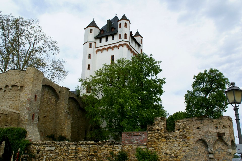
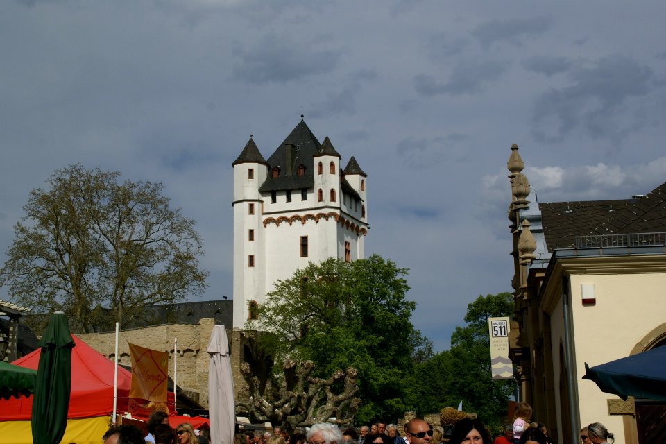
burg eltville
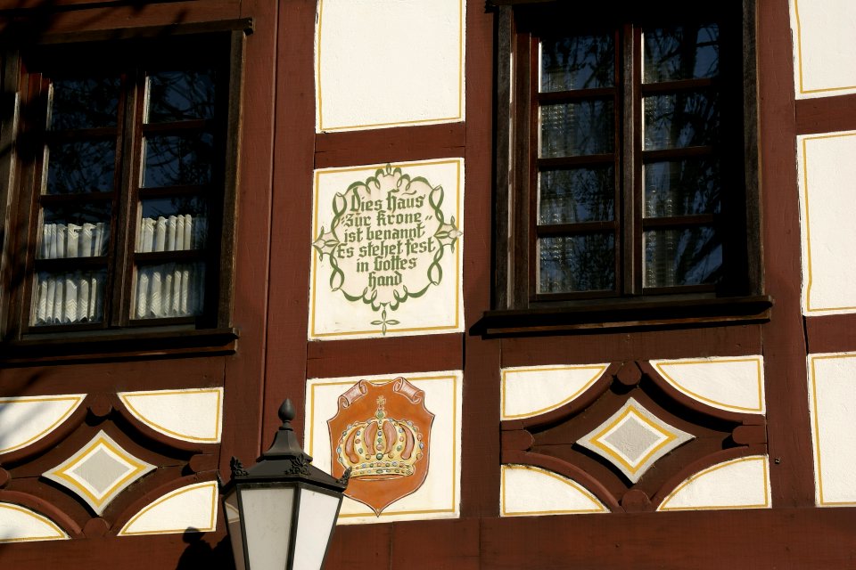
timber framing in gernsheim
2017 in freital
battaglia terme
streets in pula
self-published work
qom
self-published work
pages with maps
self-published work
pages with maps
self-published work
rural
self-published work
architecture
self-published work
pages with maps
self-published work
pages with maps
self-published work
town
self-published work
pages with maps
self-published work
pages with maps
self-published work
pages with maps
self-published work
lawn
self-published work
architecture
uploaded with vicuñauploader
pages with maps
self-published work
pages with maps
shopping
vitamin
pages with maps
cc-zero
architecture
roof
self-published work
urmond
self-published work
pages with maps
self-published work
pages with maps
self-published work
pages with maps
self-published work
pages with maps
self-published work
pages with maps
pages with maps
cc-zero
village
town
self-published work
pages with maps
self-published work
pages with maps
pages with maps
architecture
forest
season
grass
field
self-published work
pages with maps
self-published work
pages with maps
self-published work
pages with maps
self-published work
pages with maps
self-published work
pages with maps
self-published work
pages with maps
hildburghausen
architecture
architecture
travel
self-published work
pages with maps
self-published work
pages with maps
self-published work
pages with maps
self-published work
pages with maps
self-published work
pages with maps
self-published work
chlef province
self-published work
pages with maps
self-published work
letter
self-published work
architecture
self-published work
architecture
self-published work
architecture
self-published work
architecture
self-published work
architecture
self-published work
pages with maps
self-published work
pages with maps
self-published work
architecture
self-published work
town
self-published work
pages with maps
self-published work
architecture
self-published work
pages with maps
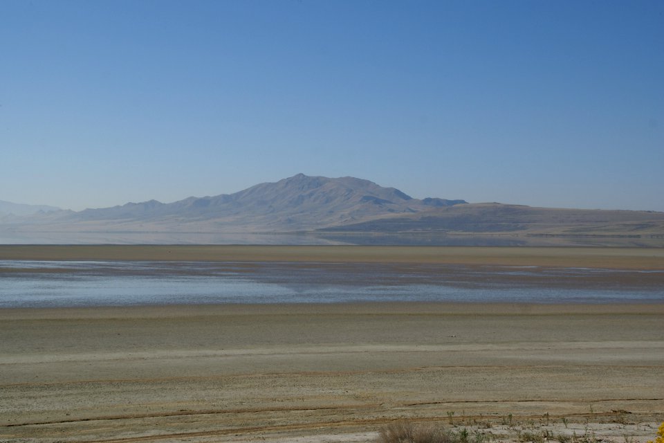
antelope island
landscape
self-published work
pages with maps
self-published work
eltville am rhein
self-published work
pages with maps
self-published work
roof
self-published work
pages with maps
self-published work
pages with maps
self-published work
hockenheimer
self-published work
grass
self-published work
animals
self-published work
pages with maps
self-published work
pages with maps
self-published work
animals
self-published work
pages with maps
self-published work
pages with maps
self-published work
pages with maps
self-published work
pages with maps
self-published work
pages with maps
self-published work
pages with maps
self-published work
pages with maps
self-published work
water
self-published work
pages with maps
self-published work
city
self-published work
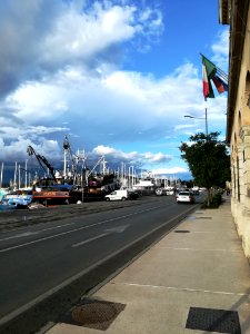
traffic
sidewalk
jesolo
jesolo
city
jesolo
card
self-published work
pages with maps
self-published work
pages with maps
self-published work
pages with maps
self-published work
pages with maps
self-published work
pages with maps
self-published work
architecture
self-published work
pages with maps
self-published work
pages with maps
self-published work
architecture
self-published work
architecture
self-published work
architecture
self-published work
pages with maps
self-published work
architecture
self-published work
pages with maps
5401 - 5500 of 308,624
Next page
/ 3087